
Follow our social profiles:


Contrast:


Page settings
Contrast:
Language:

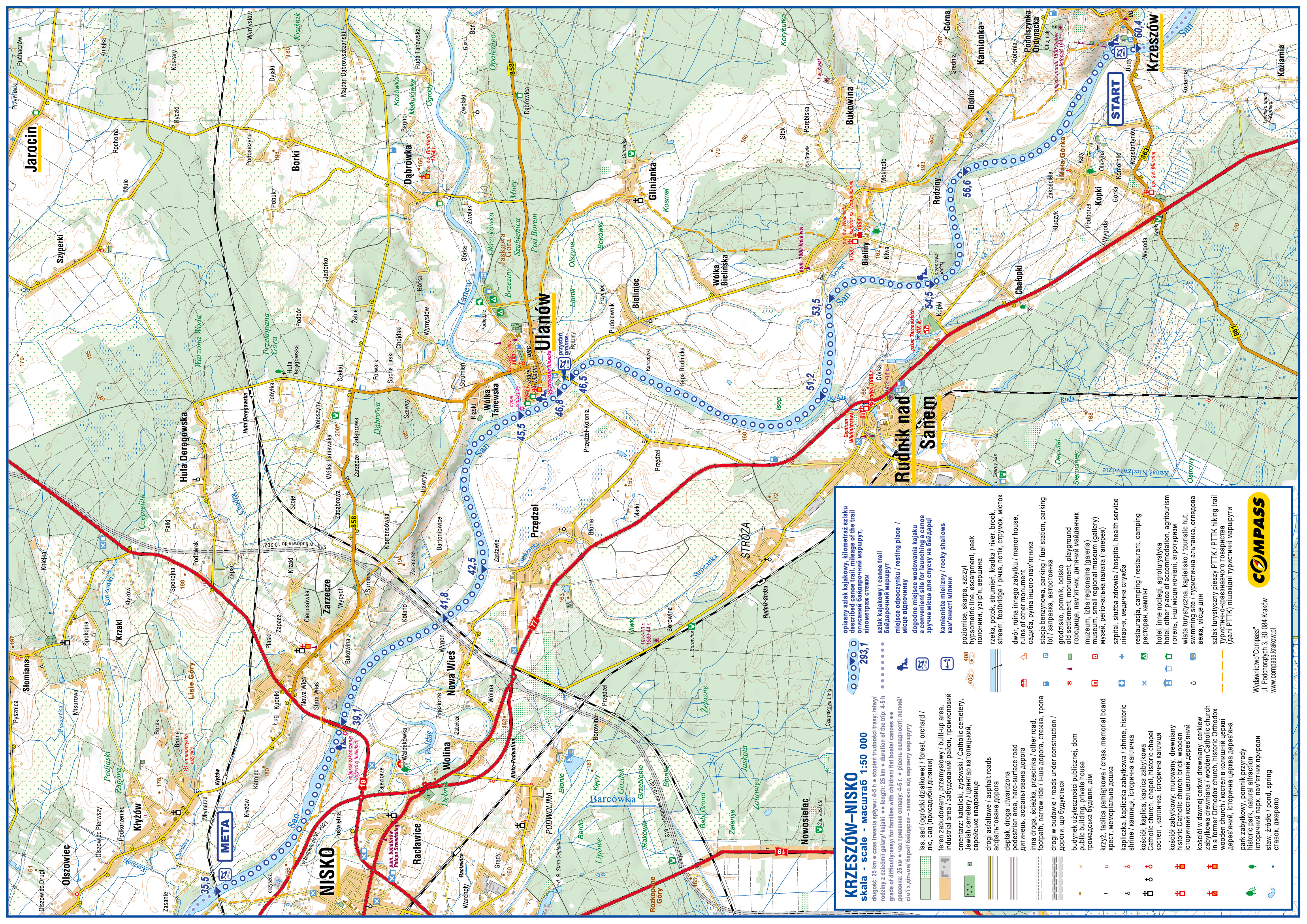
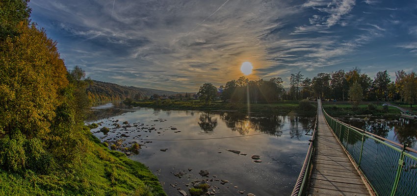
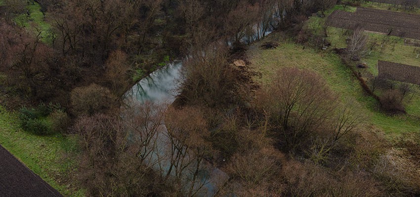
Rafting on the San river
Route: Krzeszów – Nisko
Length: 25 km
Duration of the trip: 4-5 h
Grade of difficulty: easy/ for families with children/ flat boats/ canoes – depending on the route variant
Start:
60.4km – Krzeszów – after the bridge on the right side, exit from Pocztowa street to the parking lot near the ski lift, next to the sports field near the bank of the San River. Below there are sandbanks where swimming is possible.
56.6 km – Rędziny – a diverse section with an attractive landscape, a mosaic of fields, meadows and forested areas; rafting near the riverside can be difficult because of sandbanks when the water level is low, but when the water is deeper you can continue without getting out of the canoe;
54.5 km – Bieliny – a boat trip on the way to Rudnik, a pleasant campsite with roofed benches on the right bank in the forest;
53.5 km – right bank - the mouth of the Szymek stream;
51.2km – Rudnik nad Sanem – a village famous for wicker products; downstream, on the way to Ulanów, several islands and sandbanks, a very scenic section of the route;
46.5 km – Ulanów – the bridge on the road to Rudnik. After the bridge on the right bank there is a harbour for timber rafting boats; access to the river from the parking lot near the stadium;
46.8 km – a harbour for timber rafting boats; it organizes trips in flat boats; infrastructure for camping; accommodation available; a sandy beach nearby;
45.5km – the mouth of the Tanew River, a viewing point on a river spit;
42.5 km – Przędzel – the mouth of the Stróżanka stream;
41.8 km – Nowa Wieś – a railway bridge;
39.1 km – Zarzecze – a road bridge on the Rzeszów-Lublin route; the end point of rafting trips, return to Ulanów;
35.5 km – Nisko-Kłyżów – a railway bridge on the Stalowa Wola-Przeworsk route, access to the river 200 m before the bridge, on the right side; end point of the canoeing trip.
 Download the trail cover
 Download the trail map


This online multimedia guide was created with the financial support of the European Union under the Poland-Belarus-Ukraine Cross-Border Cooperation Programme 2014-2020. The information contained herein is the sole responsibility of the Podkarpackie Regional Tourism Board. The content of this publication does not necessarily reflect the official position of the European Union MA or the Joint Technical Secretariat of the Poland-Belarus-Ukraine Cross-Border Cooperation Programme 2014-2020.